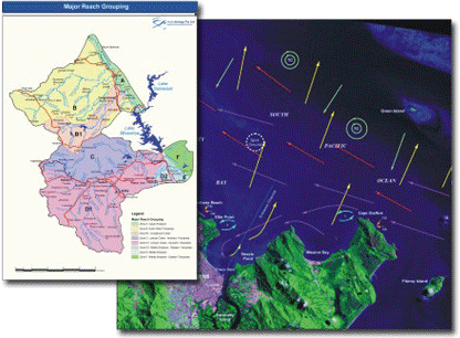
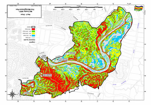
Environmental Mapping
AusGIS has 30 years of cartographic experience combined with 15
years of GIS experience which affords the best possibilities for
geographical / spatial representation. Our clients rely on our cartographic
skills to maximize the impact of their analysis and increase the
effectiveness of their report.